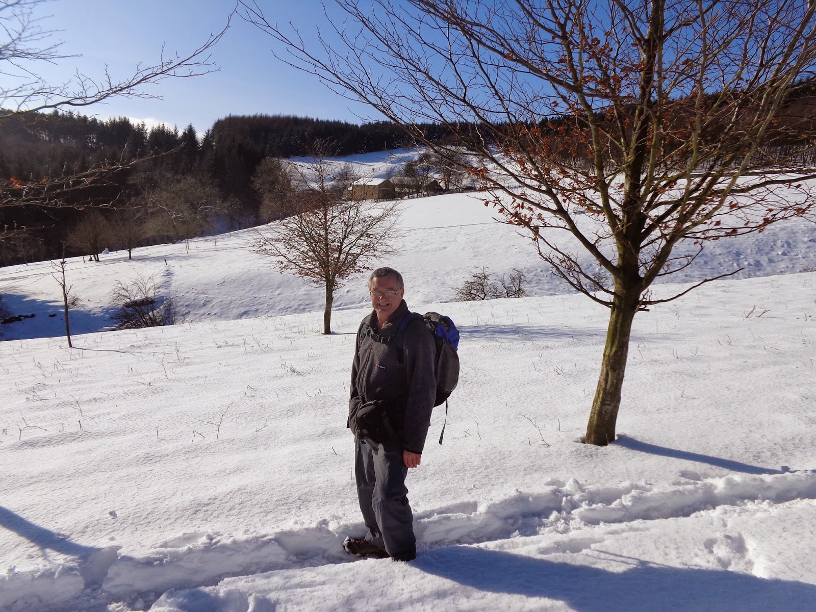
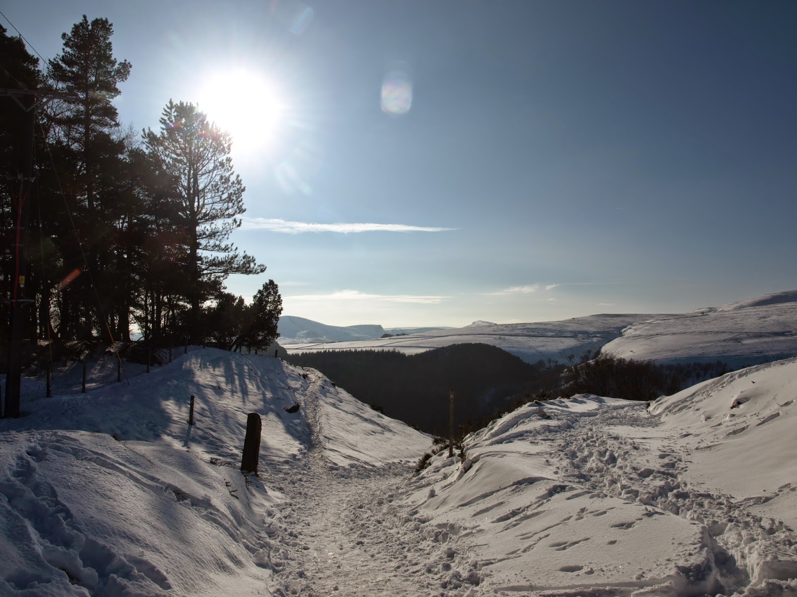
A long period since I posted on here, but yesterday was just too good not to share. A walk of 8 miles, with 1500 feet of climbing took us from Ladybower on a quiet Tuesday, up to Lockerbrook farm, then onto Rowlee pastures, our goal, Alport Castles, then across the moors and back down to the reservoirs.
Lots of pictures and deep snow meant we overshot on time and ended up walking back in almost darkness (but I'd allowed for this, and we were on easy reservoir-side roads, so no problem).
OK, here are the pictures. You can click on any of them for a slide show larger version.
Just click 'back' to return to the blog.
As it was a Tuesday, there were no other cars about. On the walk, we saw only ONE other person, and that was within ten minutes of setting off.
As it was a Tuesday, there were no other cars about. On the walk, we saw only ONE other person, and that was within ten minutes of setting off.
Looking through the trees sent a shiver down our spines - not with cold, but with anticipation of a good day in the hills.
Not QUITE glass-like mirror. A slight breeze was rippling the surface.
We crossed the road and took the gateway up into the woods above Ladybower.
The path climbs through the trees, then joins a track, seen here deep with snow, and then goes into more trees towards Lockerbrook farm.
The views back are just amazing, looking over to the Derwent edges, another place we love to walk.
The gate out of the woodland and onto Lockerbrook land.
Deepening snow, but a great view of the farm, under a perfect blue sky.
Why is snow so easy on the eye? It certainly made this wall look good
I love the simplicity and starkness of this shot.
These snowy walls are at the side of the track.
Sue opens the gate - to paradise!
Looking over to the great ridge above Castleton.
Now the hard work begins. We left the track, and stepped into the thigh deep snow up to Birchinlee pastures.
A pretty deep drift over a gate.
Surprisingly, a helicopter was ferrying materials from the valley, up onto the high moors.
We didn't expect to see this in these snowy conditions?
Looking down into the Alport valley.
The fabulous drifts over the walls on the tops.
Drifting away.............
Looking down to the helicopter, as he picks up another load.
The surrounding hills were magical today.
Sue plods on towards our goal, not far now!
Although bleak and cold, the moors hold a special beauty for us when they are like this.
Onward to Alport Castles.
This is the tantalizing first glimpse you get of the Castles, as you approach from this direction.
Peeping through the gaps - saying; 'HERE I AM!'
The cliffs, where the Castles slipped from, many years ago.
Two, massive jigsaw pieces.
The Castles, from the cliff.
Sue & I climbed to the top of these one summer.
A smooth cornice on the edge.
Looking back along the dip, the Castles are to my right.
Then we started off across open moorland to get back to the Derwent valley and reservoirs - to see the fun we had in the snow - click HERE
"We could have lunch in that shooting hut not far ahead", I said.
"Not today", Sue said!
Instead, we decided on the shelter of the woods to eat.
The sun was just going down now, but we were well wrapped up against the evening chill.
First though, got to ENTER the wood.
A little snow-maiden pops up.
After a lovely picnic, we set off downwards. I thought the track down to the valley might be tricky
in these circumstances, but it was very easy going, the deep snow allowing
for good progress down. The dying sun was casting a fabulous red glow over the
edges. I couldn't quite capture it on camera, but oh, it was beautiful!
We thought it'd be easy walking back to the car - a fast end to the day.
The road had other ideas, and we had to tread very carefully on the precarious surface!
We passed the towers of Howden, the water spilling over the top of the dam.
We eventually got back to the car in almost darkness.
What a fantastic day - but as a final treat, the full moon rose over Derwent edge
to light up the scene as we de-togged for the drive home.
WOW!


